You are currently viewing Al Rabi Hiking Trail: Complete Guide to Khorfakkan’s Popular Mountain Trail (2025)

Al Rabi Hiking Trail: Complete Guide to Khorfakkan’s Popular Mountain Trail (2025)

Al Rabi Hiking Trail: Complete Guide to Khorfakkan's Popular Mountain Trail (2025)

The Al Rabi Hiking Trail stands as Khorfakkan’s premier mountain path, offering an accessible 4-5 km round-trip adventure in the United Arab Emirates. Specifically, this popular Sharjah hiking destination winds from the historic Al Rabi Tower to breathtaking views of the Gulf of Oman. Moreover, perfect for both beginners and experienced hikers, the Al Rabi Trail features a moderate elevation gain from 50 meters to 379 meters (according to Gaia GPS) or 400 meters (according to the trailhead sign), consequently delivering a satisfying 2-3 hour trek through the majestic Hajar Mountains.

📚 Reading Time: 20-25 minutes | Last Updated: 02 June 2025

Al Rabi Hiking Trail: Complete Quick Guide & Essential Facts

AttributeDetails
LocationKhorfakkan, Sharjah, UAE
Trail Length4 – 5 km (round trip)
DifficultyEasy – Moderate
Estimated Hiking Time2 – 3 hours
Best SeasonNovember – March
Starting Elevation50m
Maximum Elevation379m (Gaia GPS) / 400m (Trailhead sign)
Key HighlightPanoramic views of The Gulf of Oman, Khorfakkan, and The Hajar Mountains
TerrainMountain path, rocky terrain
Recommended GearHiking shoes, sun protection, water

Al Rabi Trail FAQ: Everything You Need to Know Before Hiking

How difficult is the Al Rabi hiking trail?

Overall, the trail is rated easy to moderate, with a well-maintained path suitable for beginners with basic fitness. Furthermore, the 395m elevation gain is manageable with proper pacing and rest stops.

What's the best time to hike Al Rabi trail?

Generally, November to March offers the best hiking conditions, with temperatures between 22-25°C. Additionally, early morning (6-9 AM) or late afternoon (4-6 PM) provide optimal hiking weather and lighting for photography. Check current weather conditions.

How long does it take to hike Al Rabi trail? 

The 4-5 km round-trip typically takes 2-3 hours to complete, including rest stops and photo opportunities.

What is the elevation gain of Al Rabi Trail?

The Al Rabi Trail has an elevation gain of approximately 329-350 meters, starting at about 50 meters above sea level and reaching a maximum elevation of 379m (according to Gaia GPS) or 400m (according to the trailhead sign).

Al Rabi Hiking Trail Map & Route Guide: Essential Navigation Tips

Al Rabi Trail Navigation

For precise navigation, you can follow the route I recorded on the Gaia GPS app. 

Topographic map showing GPS-tracked route on Al Rabi mountain connecting Jabal Al Shahs and Jabal Khawr Fakkan peaks with elevation contours.
GPS track of our Al Rabi hike recorded on Gaia GPS, showing the complete loop route covering both Jabal Al Shahs (349m) and Jabal Khawr Fakkan (379m) peaks.

The Al Rabi Trail begins at Al Rabi Tower, where you’ll see a trailhead sign in Arabic. I’ve translated it for you in the table below.

Detailed Arabic trail map board at Al Rabi Mountain showing hiking routes, elevation profile, and points of interest against rocky terrain.
Official Al Rabi Mountain trail map indicating all key points: Two mountain peaks, three rest stops, administrative building - complete with elevation details and distances.

Key Trail Checkpoints & Rest Areas

CheckpointDistance From TrailheadElevationTime (Depending on Pace)
East Rest House600m

130m15 – 20 minutes
Al Shahs Rest House1500m280m30 – 40 minutes
First Peak: Jabal Al Shahs1800m349 (Gaia GPS) / 330m (trail sign)40 – 50 minutes
Administrative Building2400m300m50 – 60 minutes
Summit: Al Rabi Mountain3000m379m (Gaia GPS) / 400m (trail sign)60 – 70 minutes

Al Rabi Trail Elevation Profile

No Data Found

Directional Signs

Just after the trailhead map, you’ll see a directional sign guiding you to the yellow trail—the designated route for hikers. The red trail is not for hiking and should be avoided.

Bilingual hiking trail signpost on the Al Rabi hiking trail showing Yellow Trail for hikers and Red Trail where hiking is not allowed against a rocky mountain backdrop.
Trail navigation made simple with color-coded directions showing which path is open for hikers and which is restricted.

Distance Markers

Distance markers appear regularly along the Yellow Trail. These markers help you track your progress effectively. Therefore, you’ll always know your distance from both the start and summit.

Woman in purple top and black leggings standing beside trail signpost showing directions to Al Rabi Mountain Peak and back to the tower.
Milestone marker at Sharq Rest — 600 meters into the Al Rabi Trail, pointing the way to the summit ahead or back down to the starting point at Al Rabi Tower.

Alternative Trail Routes & Shortcuts

Feeling like skipping the first peak? A shortcut from Al Shahs Rest House takes you directly to the administrative building, allowing you to head straight for the summit.

Return Options

To head back, you can retrace your steps to the trailhead or opt for a loop around the back like we did.

My Personal Experience Hiking the Al Rabi Trail

Pre-Dawn Departure: Setting Off from Al Ain

Our day started early—04:30 on 01 December 2024—which also happened to be my 30th birthday. It was a cool 18°C in Al Ain when we hit the road toward Khorfakkan, half-asleep but buzzing with that familiar pre-hike excitement. 

Samsung Galaxy Fit 3 smartwatch on wrist showing 04:33 time, 18°C temperature, 71 bpm heart rate, and December 1, 2024 date
04:30 AM wake-up call on December 1, 2024: My Galaxy Fit 3 showing the cool 18°C pre-dawn temperature as I prepare for the drive from Al Ain to Khorfakkan's Al Rabi trail.

Sunrise Coffee Break: Fueling Up at ADNOC Oasis

At 06:50, we made a quick stop at the Al Thameed 631 ADNOC Oasis for coffee and a pre-hike sandwich, just in time to catch a sunrise that lit up the desert sky. 

ADNOC Oasis coffee cup on white concrete barrier with vibrant orange desert sunrise in the background.
Desert sunrise at 06:52 on December 1, 2024, captured at Al Thameed 631 ADNOC station during our journey to Khorfakkan's Al Rabi hiking trail.

The Drive to Khorfakkan: Mountain Roads & Tunnel Views

By 07:30, we were cruising along the S142, with the Hajar Mountains glowing in soft golden light. 

Highway S142 cutting through golden-lit Hajar Mountains during sunrise with clear blue sky and safety barriers visible.
Dawn breaks over the ancient Hajar Mountains, painting their jagged peaks in molten gold. The smooth ribbon of Khorfakkan Road slices through this primordial landscape, where engineering precision meets untamed beauty.

We passed through a string of tunnels, and just before 08:00, we rolled into the Al Rabi trail parking lot—fuelled, caffeinated, and ready to hike.

Entrance to Al Multaqa Tunnel on Khorfakkan Road with bilingual signage, safety barriers, and UAE flag displayed on nearby pole.
Al Multaqa Tunnel - one of several mountain tunnels you'll drive through on Khorfakkan Road en route to Al Rabi Trail, pictured here during UAE National Day celebrations.

Arriving at Al Rabi Trail's Parking Area

The weather couldn’t have been better—22 to 25°C (70–77°F) with crystal-clear skies that practically begged us to get outside. A light, refreshing breeze added to the perfection, making it an ideal day for a hike.

Long-term parking lot for Al Rabi Mountain hikers filled with vehicles beneath rocky hillside with bilingual parking sign and morning blue sky.
The dedicated long-term parking area for Al Rabi Mountain hikers already filling up by 8:00 AM on December 1, 2024, showing the trail's popularity.

Beginning the Ascent: From Parking Area to Al Rabi Tower

The trek begins with a gradual walk up Al Rabi Tower Street, leading from the parking lot to the trailhead at the top of the hill near Al Rabi Tower itself. Along the way, helpful signposts reassure you that you’re heading in the right direction.

Wooden directional sign post showing Al Rabi Tower Mountain, Al Rabi Hiking Trail, and The View Restaurant with mountain backdrop in Khorfakkan.
First trail sign encountered near the parking area on Al Rabi Tower Street, pointing the way to both the hiking trail and The View Restaurant.

Bougainvillea & Coastal Views: First Glimpses of Khorfakkan

As we made our way up, vibrant pink bougainvillea lined the roadside, and the view slowly opened up—giving us our first elevated glimpses of Khorfakkan below.

View of Khorfakkan city and Hajar Mountains framed by vibrant pink bougainvillea flowers against bright blue sky.
Vibrant pink bougainvillea flowers line Al Rabi Tower Street, framing this spectacular view of Khorfakkan city nestled between the Hajar Mountains and clear blue skies.

Al Rabi Watchtower: Starting Point & Historical Sentinel

At the top of the hill, we were greeted by the Al Rabi Tower—sturdy, weathered, and standing watch over the city like it had nowhere better to be for the last couple of centuries. 

Ancient stone Al Rabi Watchtower against deep blue sky with desert shrub and Hajar Mountains visible in the background.
The historic Al Rabi Watchtower marks the starting point of the Al Rabi hiking trail, standing as a centuries-old sentinel with panoramic views of Khorfakkan and surrounding mountains.

Morning Views from Al Rabi Tower: Khorfakkan Port & Shark Island

Just beyond it, the Khorfakkan Port came into view, with its forest of yellow cranes and Shark Island sitting quietly to the right, just offshore. The morning sun lit everything up beautifully, and with the bougainvillea in full bloom around us, it felt like the day was off to a pretty great start. We began the trail just after 08:00.

Panoramic view of Khorfakkan port with yellow container cranes, blue sea, Shark Island, and yellow bougainvillea flowers in foreground.
Stunning view from Al Rabi Tower overlooking Khorfakkan's bustling port, with Shark Island visible to the right and vibrant yellow bougainvillea framing the coastal panorama.

On the Trail: Navigating to Jabal Al Shahs Peak

The trail itself was easy to follow—well maintained, with plenty of directional signs and shaded rest stops along the way. We reached the first peak, Jabal Al Shahs, just before 09:00. It’s usually marked by a UAE flag, but on this particular day, the flag was missing. Inshallah, it’ll be flying again soon.

Hiker standing on rocky Al Shahs peak on Al Rabi mountain with trekking pole, wide-brimmed hat, and technical hiking clothing against blue sky and Hajar Mountains backdrop.
The first peak (Al Shahs) on Al Rabi Mountain, where a UAE flag typically flies from the wooden pole visible beside me.

Between Sea & Stone: Coastal Panoramas Along the Path

From there, the next stretch of trail was a visual treat: the Gulf of Oman stretched out to our left, glinting under the morning sun, while the mountain rose steeply to our right. The contrast between sea and stone made every step feel like a postcard moment.

Female hiker in purple top and cap walking along the Al Rabi mountain trail with panoramic Gulf of Oman views and distant cargo ships visible
Anna enjoying the well-maintained trail along Al Rabi Mountain, with spectacular views of the Gulf of Oman.

Ships on the Horizon: Global Trade from a Mountain Perspective

At one point along the trail, the view to the east caught my attention: hundreds of ships anchored offshore, lined up in an almost perfect formation, all facing the same direction. It was a striking sight—orderly, calm, and oddly beautiful against the open sea. These vessels were waiting their turn to enter the Port of Khorfakkan, one of the busiest deep-water container hubs in the region. The port’s strategic location just outside the Strait of Hormuz places it right along a major East–West shipping corridor, making it a key stopover for global trade.

It was one of those surreal moments where you realize you’re standing on a mountain in hiking gear, overlooking the gears of global trade in motion. From oil to electronics, everything passes through this watery artery between Asia, the Middle East, and Europe.

Dozens of cargo ships anchored in formation on the Gulf of Oman as seen from Al Rabi Mountain with sunlight reflecting off the water.
A dramatic view from Al Rabi trail reveals dozens of cargo vessels waiting in formation offshore, patiently queued to enter Khorfakkan's busy deepwater port outside the Strait of Hormuz.

Reaching the Summit: Al Rabi's Yellow Tower & Battle-Worn Flag

We reached the summit of Al Rabi Mountain around 09:30, where a towering yellow structure marked the trail’s high point like it had something important to say. At the top, the remnants of a UAE flag clung to the pole, flapping wildly in the wind—half-missing, fully dramatic, and looking like it had survived a minor apocalypse. It wasn’t exactly majestic, but it sure was memorable.

Tall yellow ladder-like structure at Al Rabi Mountain summit with tattered UAE flag against brilliant blue sky and Hajar Mountains panorama.
The unmistakable yellow summit tower of Al Rabi—topped with a battle-worn UAE flag flapping proudly in the wind, marking the end of the climb and the start of some seriously epic views.

The Descent: Completing the Loop Back to Al Rabi Tower

We took a few minutes to catch our breath, enjoy some snacks, and take in the panoramic views—from the Gulf of Oman to the city of Khorfakkan, with Shark Island just offshore. After a short rest, we began our descent along the back side of the mountain, arriving back at the trailhead near Al Rabi Tower by 10:30.

Hikers enjoying panoramic views of Khorfakkan Bay, port facilities, and Hajar Mountains from the Al Rabi Mountain summit in UAE.
Reaching the summit of Al Rabi Mountain rewarded us with breathtaking panoramic views spanning Khorfakkan Bay, the bustling port, and the majestic Hajar Mountain range stretching along the coastline.

National Day Weekend Crowds: The Social Side of Al Rabi Trail

The trail’s popularity was undeniable—it felt like we were hiking the Nissan Patrol of UAE hiking trails, if you know what I mean. We knew going in that Al Rabi would be a more ‘polished’ experience, but we still wanted to check it out for ourselves. 

That weekend also happened to be the 53rd UAE National Day Celebration (Eid Al Etihad), commemorating the UAE’s unification in 1971. With public holidays on December 2nd and 3rd, the entire country seemed to have the same idea: head outside and make the most of it. The trail was buzzing—families, couples, fitness groups—all soaking up the weather and racking up steps.

Trail Reflections: Balancing Popularity with Mountain Serenity

It felt good to be out there. The views alone—from the Gulf of Oman to the city of Khorfakkan—make the mission worthwhile. Still, the timing likely shaped our experience. With perfect weather and a long weekend in full swing, it was less serene mountain escape and more community hiking festival. The trail, with its clear signage and well-maintained paths, leaned more toward structured and social than rugged and remote. For many, that’s exactly what makes it great.

But if you’re after something quieter, something with fewer signposts and more surprises.

—You might prefer the Al Suwaifa to Secret Beach trail across the bay. It’s unpolished, lightly trafficked, and leads to a secluded beach you’ll probably have to yourself. Both trails offer sweeping views of Khorfakkan, but the vibes couldn’t be more different.

I’d still recommend Al Rabi to anyone exploring the region—especially if you’re new to hiking or just looking for a trail that offers rewarding views without requiring a full day’s commitment. It’s a great introduction to the mountains around Khorfakkan. That said, I’d suggest tackling it on a weekday or during quieter times of year, when the trail has more space to breathe. Without the crowds, I imagine it offers a much more peaceful experience—and a better chance to take in the views without someone’s Bluetooth speaker trailing behind you.

Is Al Rabi Hiking Trail Right for You? Ideal Hiker Profiles & Expectations

Who This Trail Is Perfect For:

  • First-time hikers in the UAE.
  • Families seeking a structured outdoor activity.
  • Photography enthusiasts wanting accessible viewpoints.
  • Visitors with limited time in Khorfakkan.
  • Those preferring well-maintained, marked trails.

Who Might Want to Explore Alternatives:

  • Experienced hikers seeking solitude.
  • Adventure seekers looking for challenging terrain.
  • Those wanting an immersive wilderness experience.
  • Photographers seeking unique, uncrowded locations.

Best Seasons for Hiking in the UAE

DetailsNovember - MarchOctober & AprilMay - September
TEMPERATURE22-30°C30-35°C35°C+
TRAIL CONDITIONIdeal ConditionsManageable with precautionsExtreme heat risk
RECOMMENDATIONPerfect hiking weather and clear skies, especially from December to February, when temperatures range between 22°C and 26°C.Start early—before 8 AM—and make sure to bring extra water. By 11 AM, temperatures can reach as high as 35°C.Not recommended for hiking

How to Reach Al Rabi Hiking Trail: Complete Driving Guide

Dubai to Al Rabi Hiking Trail

  1. Start in Dubai: Take Emirates Road (E611) heading north toward Sharjah.
  2. Merge onto Sharjah-Kalba Road (E102): Follow signs for Maliha/Kalba.
  3. Turn onto Khorfakkan Road (S142): Continue through the Hajar Mountains, passing scenic tunnels.
  4. Arrive in Khorfakkan: Follow local signs to the Al Rabi Tower. The trailhead is near the tower, with parking available nearby.
  • Distance/Time: ~1 hour 45 minutes (130 km).

Abu Dhabi to Al Rabi Hiking Trail

  1. Start in Abu Dhabi: Take Sheikh Zayed Road (E11) heading north toward Dubai.
  2. Exit onto Emirates Road (E611): Continue toward Sharjah/Kalba.
  3. Join Sharjah-Kalba Road (E102): Follow it until the turnoff for Khorfakkan Road (S142).
  4. Take Khorfakkan Road (S142): Enjoy the scenic mountain drive to Khorfakkan.
  5. Arrive in Khorfakkan: Head toward the Al Rabi Tower and locate the trailhead nearby.
  • Distance/Time: ~2 hours 45 minutes (260 km).

Al Ain to Al Rabi Hiking Trail

  1. Start in Al Ain: Take Dubai-Al Ain Road (E66) heading toward Dubai.
  2. Exit onto E102 (Dubai-Hatta Road): Continue toward Hatta/Maliha.
  3. Turn onto Khorfakkan Road (S142): Follow this scenic road through the Hajar Mountains, passing the modern tunnels.
  4. Arrive in Khorfakkan: Follow signs to the Al Rabi Tower, where the trailhead is located, with parking nearby.

Distance/Time: ~2 hours 30 minutes (180 km).

Essential Driving Tips

  • Toll Roads: Ensure sufficient Salik balance (for Dubai).
  • There are no Salik gates or tolls on the Sharjah-Kalba Road (E102) or Khorfakkan Road (S142), ensuring a smooth and toll-free journey once you leave Dubai.
  • Ensure your vehicle is fueled before entering mountain roads.

Al Rabi Trail Parking Guide

You’ll find a designated parking lot right at the base of the hill, just below Al Rabi Tower. It’s surprisingly spacious—room for over 100 vehicles (yes, I actually counted)—so finding a spot usually isn’t an issue. If you’re following the Google Maps link above, it’ll lead you to right here.

Crowded parking area below Al Rabi Mountain with numerous vehicles and the historic watchtower visible on the hilltop, illuminated in the morning light under a turquoise sky.
Early birds fill Al Rabi trail's parking lot by 8:00 AM, with the historic watchtower visible on the hilltop where the hiking trail begins.

Emergency Contact Numbers

ServiceContact NumberDescription
Police999Provides assistance for all emergencies, including law enforcement and public safety issues in the UAE.
Ambulance998In a medical emergency, call 998 to reach the National Ambulance service, available 24/7 across the Emirates.
Coastguard996 Call 996 for any emergency on UAE waters—accidents, suspicious activity, or rescues—whether you’re at the beach, boating, or near the coast.
National Search and Rescue Center (NSRC)800823727For mountain, desert, maritime, or remote area rescues. This 24/7 free hotline connects you to the UAE’s National Search and Rescue Center for specialized help—including helicopter support.

There is good signal throughout most parts of the Al Rabi hiking trail, though it might fluctuate in some spots due to elevation or obstructions.

Essential Gear for the Al Rabi Hiking Trail

Footwear & Equipment: Don't Skip the Basics

While you could totally be like Anna, and rock your Vans on this hike — #khalliwalli #yallaletsgo — let’s be real for a second. Although you might be tempted to wear casual shoes while crushing rugged UAE mountain trails, your feet will certainly thank you for ditching the skate shoes for something a little more… terrain-savvy. In particular, you should think about grip, support, and most importantly, avoiding slipping on loose rocks and starring in an accidental viral fail video.

Woman in purple top sitting on rocks at a trail junction with wooden directional signs visible in the background.
The 'these shoes will be fine' approach to hiking: Anna tackles Al Rabi in her trusty Vans—doable, though your feet might demand an explanation later.

For a comprehensive breakdown of the best hiking footwear for UAE trails—and everything else you’ll need—check out my complete UAE hiking gear guide. I cover everything from footwear and backpacks to sun protection and other must-have gear for tackling the UAE’s rugged terrain.

Hydration Strategy: Beyond Just Water

Back on a hike a few years ago, I learned something important: water alone isn’t enough. Even though I was drinking plenty, my legs seized up in brutal cramps. The cause? Electrolyte loss. Turns out, I’d been sweating out electrolytes without replenishing them.

Lesson learned: Water is just one piece of the hydration puzzle—it’s about replacing electrolytes, too. Salty snacks, potassium-rich foods, and an electrolyte-rich drink go a long way. For a full breakdown of what to bring and why, take a look at my trail hydration and nutrition guide.

Flora & Fauna on Al Rabi Hiking Trail: Mountain Wildlife Guide

The rugged terrain of the Al Rabi Trail is home to an impressive range of plant life, each species shaped by the harsh environment it calls home. These hardy survivors don’t just add beauty to the landscape—they’re vital to the health and stability of the mountain ecosystem.

Umbrella Thorn Acacia Tree (Vachellia Tortilis)

Distinctive Features and Natural Beauty

The most prominent plant along the Al Rabi Trail is the Vachellia tortilis, also known as the umbrella thorn acacia or Samar in Arabic. This hardy tree thrives in the region’s rocky, arid environment and offers a striking visual contrast with its wide, umbrella-shaped canopy set against the glimmering backdrop of Khorfakkan Bay. Not only does its distinctive form add beauty to the trail, but it also provides valuable shade for the ecosystem below. Additionally, its ability to survive in such harsh conditions makes it an impressive example of nature’s adaptability.

Thorny acacia tree growing on rocky terrain with Khorfakkan bay and port visible in the background.
A resilient Vachellia tortilis (Umbrella Thorn Acacia) thriving on the rocky slopes, with Khorfakkan's coastal panorama visible in the distance.

Trail Safety: Watch Out for Those Thorns!

Despite their beauty, however, these thorny branches often extend over the path, making it essential for hikers to stay alert, especially when children are present. Notably, the branches frequently hang at head height for young explorers, so keeping little ones close is highly recommended.

Close-up of sharp acacia thorns with small green leaves against blurred coastal background.
Sharp acacia thorns along the trail serve as a reminder to watch your path while enjoying the mountain hike.

Health Hazards: More Than Just a Scratch

Beyond their physical sharpness, these thorns are more than just painful; they contain irritating toxins and alkaloids that can cause significant inflammation if they puncture the skin. Consequently, these injuries are more severe than typical thorn scratches and may require medical attention, particularly if fragments remain embedded. Therefore, it’s important to clean any punctures thoroughly and monitor for signs of swelling or infection. In addition, carrying a small first aid kit with tweezers and antiseptic wipes is a wise precaution when hiking in UAE.

Ecological Importance and Respectful Hiking

In conclusion, while the Acacia tree adds character and ecological value to the trail, it simultaneously demands caution and respect from those who pass through its terrain. These trees provide essential habitat for local wildlife and help prevent soil erosion in the fragile mountain ecosystem. As a result, hikers should appreciate these remarkable trees from a safe distance, taking care not to damage branches or disturb the surrounding environment.

Native habitat and classification:

  • Family: Fabaceae (Legume family).
  • Native to: Arabian Peninsula, including the UAE’s mountainous regions.
  • Common locations: Widespread throughout rocky hillsides and wadis of the Hajar Mountains.

Key characteristics:

  • Distinctive umbrella-shaped canopy with thorny branches.
  • Extremely drought-resistant with adaptations for arid environments.
  • Deep root system that stabilizes soil and prevents erosion on hillsides.

Ecological importance and traditional uses:

  • Fixes nitrogen in the soil, enriching the otherwise nutrient-poor mountain terrain.
  • Traditionally used for firewood, charcoal, and as feed for livestock.
  • The gum exuded from the trunk has been used in traditional medicine.
  • The wood has historically been used for making tools and small objects.

Markh Desert Broom (Leptadenia pyrotechnica)

Leptadenia pyrotechnica—better known as Desert Broom or Markh in Arabic—is a striking example of nature’s ingenuity, perfectly engineered to survive and thrive in some of the most extreme desert conditions on Earth.

Green leafless Leptadenia pyrotechnica shrub growing among dark rocks in arid mountain environment.
Leptadenia pyrotechnica (locally known as Markh or Desert Broom) displaying its remarkable adaptation to harsh conditions along the rocky terrain.

Native habitat and classification:

  • Family: Apocynaceae
  • Native to: UAE and Arabian Peninsula.
  • Common locations: Sandy and rocky areas of the Hajar Mountains and desert plains.

Key characteristics:

  • Leafless, green photosynthetic stems in a broom-like structure.
  • Perfectly adapted to harsh mountain environments like Al Rabi mountain.

Ecological and traditional uses:

  • Features a deep root system that prevents erosion and stabilizes soil.
  • Traditionally used by Bedouins for kindling (hence “pyrotechnica” in its name).
  • Stems historically used for making ropes, baskets, and brushes.
  • Used in traditional medicine for treating skin conditions and digestive issues.
  • Young shoots sometimes consumed as emergency food during times of scarcity.

Look for this distinctive broom-like shrub in the more exposed, rocky sections of the trail.

Mountain/Spiny Bindweed (Convolvulus Acanthocladus)

Amid the harsh, rocky terrain, the delicate white blooms of Convolvulus acanthocladus—known as Mountain Bindweed or Allaqi Shawki in Arabic—stand out in quiet defiance, adding a splash of softness to an otherwise unforgiving landscape.

Green spiny bindweed plant with small white flowers growing among rocks with mountain backdrop.
Convolvulus Acanthocladus (Spiny Bindweed) displaying its delicate white flowers among a network of thin green stems—one of nature's surprises along Al Rabi's rocky mountain path.

Native habitat and classification:

  • Family: Convolvulaceae (Morning glory family).
  • Native to: Arabian Peninsula and Hajar Mountains of the UAE.
  • Common locations: Rocky slopes and mountain paths.

Key characteristics:

  • Distinguished by white funnel-shaped flowers on thin green stems.
  • Drought-resistant perennial adapted to rocky mountain habitats.
  • Blooms rapidly after rainfall events.

Ecological importance and traditional uses:

  • Contributes to slope stabilization in the rocky terrain.
  • Related Convolvulus species have been used in traditional medicine for treating fevers and as a purgative.
  • Some mountain communities have used the plant to treat stomach ailments.
  • Provides a vital early nectar source for pollinators.

During winter and early spring hikes, watch for these white funnel-shaped flowers brightening the trail edges.

Wildlife Spotting Guide for Al Rabi Hiking Trail

Wildlife Encounters on Al Rabi Trail

Al Rabi’s rugged slopes might look unforgiving at first glance; however, they’re actually teeming with unexpected life. Indeed, from rocky crevices to scrubby ledges, a surprisingly diverse array of wildlife calls this challenging terrain home. Therefore, it’s essential to keep your eyes open during your hike—because you never know what fascinating creature might scurry, soar, or slither by as you make your way along the trail.

Colorful Desert Residents

The East Arabian Desert Agama (Phrynocephalus arabicus) is undoubtedly a lively companion on many Hajar Mountain hikes, frequently seen darting across the trail or alternatively basking contentedly on a sun-warmed rock as it soaks up the early morning rays. Interestingly, during mating season, the males put on a truly dazzling display, dramatically flashing vivid blue hues that pop spectacularly against the dusty ochre terrain. In fact, these remarkable color changes serve as both territorial markers and attraction signals for potential mates. Consequently, there’s significantly more to these little lizards than mere sunbathing. For instance, their unique adaptations allow them to thrive in one of Earth’s most challenging environments. Hence, I encourage you to head over to the full write-up for a much closer look at their fascinating world.

Aerial Predators Above Khorfakkan

Meanwhile, if you look up toward the expansive sky, you might fortunately catch a glimpse of the majestic Western Osprey (Pandion haliaetus) soaring majestically high above Khorfakkan Bay. With its impressively broad wingspan and graceful, precisely executed feet-first dives, this striking raptor isn’t just a thrill to watch — rather, it serves as a vital indicator of marine ecosystem health. Although I wasn’t particularly lucky on my recent Al Rabi Trail expedition, nevertheless, I share a detailed account- along with important conservation insights – from an especially memorable sighting during a trek to Secret Beach. Furthermore, understanding these magnificent birds helps us appreciate the delicate balance between mountain and marine ecosystems that makes this region so ecologically significant.

Other wildlife to watch for includes:

  • Various lizard species scurrying between rocks and shrubs.
  • Migratory birds using the coastline as a navigation guide.
  • Small desert mammals, most active at dawn and dusk.

The best times for wildlife viewing are early morning or late afternoon when temperatures are cooler and animals are more active.

The Geological Story of The Hajar Mountains

Geological Formation of UAE Mountain Ranges

The Hajar Mountains form the dramatic geological backbone of the UAE and Oman, stretching 700 kilometers across the northeastern Arabian Peninsula. This ancient mountain range emerged from tectonic plate collisions during the Late Cretaceous period, creating the stunning landscape surrounding the Al Rabi Hiking Trail.

How High Can You Go? The Geology and Elevation of the Hajar Mountains

Geologically, the Hajar Mountains are a striking mix of limestone cliffs and ancient ophiolite formations, with elevations ranging from sea level to over 3,000 meters. In the UAE, Jebel Jais in Ras Al Khaimah marks the country’s highest peak at around 1,934 meters. While the true summit lies within a restricted military zone, hikers can still access high-altitude trails near the viewing deck park at elevations between 1,300 and 1,500 meters. From there, routes like the Samar Trail and Ghaf Summit Trail offer challenging ascents and sweeping views across rugged mountain terrain.

The Mountains' Role in Regional Ecology

For the Al Rabi Trail specifically, the Hajar Mountains provide a unique hiking environment. Along the path, you’ll find terrain shaped by millions of years of geological processes, featuring fossil-rich rocks and landscapes that tell a story of prehistoric marine ecosystems transformed into today’s rugged mountain pathways. Within these ancient peaks, Bedouin communities have made their home for centuries.

Cultural Heritage of Hajar Mountains

Beyond geology, these mountains have been home to Bedouin communities for centuries, serving as critical routes for trade, survival, and now, outdoor recreation. For hikers on the Al Rabi Trail, the Hajar Mountains offer not just a physical challenge, but a journey through a landscape rich with natural history and cultural significance.

Khorfakkan Heritage: Historical Journey Along Al Rabi Trail

Historic Al Rabi Tower: Ancient Guardian of Khorfakkan's Mountain Trail

Built in 1915, Al Rabi Tower stands guard over the Gulf of Oman. It was part of a network of watchtowers protecting Khorfakkan from pirates and invaders. From this strategic position, guards could watch both the coastline and the Hajar Mountains.

Today, the tower has found a new purpose. While still a historic landmark, it now marks the beginning of one of the UAE’s most popular hiking trails.

Historical Al Rabi watchtower at the hiking trail starting point surrounded by protective wooden fencing with mountain backdrop.
The historic Al Rabi Tower stands as both a witness to Khorfakkan's maritime past and the starting point for hikers exploring the mountain trail.

Traditional Emirati Watchtower Design: Al Rabi's Mountain Architecture

Reflecting traditional Emirati architecture, Al Rabi Tower features a circular structure made from local stone and mud—materials ideal for the region’s climate. Its small windows not only allowed for ventilation but also served as perfect lookout points for spotting any potential threats.

Al Rabi Tower Preservation: Historic Starting Point for Khorfakkan Hikers

In recent years, the tower was restored as part of Sharjah’s initiative to preserve its historical landmarks and boost tourism. Now, it stands proudly as a symbol of the town’s resilience and deep-rooted heritage.

Khorfakkan's Ancient Maritime Heritage: The Backdrop of Al Rabi Trail

Khorfakkan, meaning “Creek of Two Jaws,” takes its name from the crescent-shaped bay nestled within the Hajar mountains. Since the Bronze Age (3,000 BCE), this natural harbor has served as a vital settlement. In fact, archaeological discoveries in the area reveal ancient trade connections through pottery and tools from Mesopotamia, the Indus Valley, and Persia.

Mountain Fortifications: Portuguese Colonial History Around Al Rabi

During the 16th century, Khorfakkan was a target of Portuguese colonization, thanks to its strategic location on the Indian Ocean trade route. Although the Portuguese fortified the city as part of their spice trade empire, local inhabitants resisted, eventually reclaiming control with the help of the Al Qasimi tribe in the 17th century.

Modern Khorfakkan: From Historic Port to Hiking Destination

Today, Khorfakkan is a testament to resilience, blending modern attractions like the Khorfakkan Amphitheatre with the natural beauty of the Hajar mountains and the Gulf of Oman.

Hiking Through History: Sharjah's 5,000-Year Cultural Evolution

With over 5,000 years of history, Sharjah stands as one of the oldest continuously inhabited regions in the UAE. Its rich heritage includes archaeological sites like Mleiha, which showcase evidence of advanced Bronze Age civilizations.

Trade Routes and Mountain Passes: Sharjah's Historical Significance

Known as a center of trade during the Islamic Golden Age, Sharjah thrived in the exchange of pearls, spices, and textiles. By the 18th century, the Al Qasimi tribe rose to prominence, establishing Sharjah as a naval and trade powerhouse.

Sharjah's UNESCO Recognition: Cultural Backdrop to Al Rabi Hiking Experience

Today, under the leadership of Sheikh Dr. Sultan bin Muhammad Al Qasimi, Sharjah has earned recognition as:

  • Cultural Capital of the Arab World (UNESCO, 1998)
  • World Book Capital (UNESCO, 2019)

World War II History Near Al Rabi: The U-533 Submarine Story

U-533, a German Type IXC U-boat, sank off the UAE coastline on October 16, 1943, after being attacked by a British RAF bomber from Sharjah. On its fifth patrol, the submarine had been disrupting Allied shipping in the Indian Ocean when it was destroyed by depth charges.

Maritime War History: Offshore Battles Visible from Khorfakkan's Mountains

The attack resulted in the loss of 52 crew members, with only one survivor, Heinz Ewald, rescued. The wreck of U-533, discovered decades later near Fujairah at a depth of 108 meters, now serves as a profound historical marker.

Beyond Hiking: U-533 Wreck Dive Site Near Al Rabi Trail Region

Today, the U-533 wreck is a popular dive site, acting as an artificial reef and attracting diverse marine life. It stands as one of the few U-boat wrecks in the region, reflecting the strategic importance of the Arabian Gulf during World War II.

Khorfakkan Port Views from Al Rabi Hiking Trail: Maritime History Below Your Feet

Al Rabi Trail's Harbor Vista: Khorfakkan's Mountain-Protected Port

What makes Khorfakkan Port truly remarkable is its natural design. The protective embrace of the Hajar Mountains—visible along the Al Rabi Trail—shields the port from strong winds and currents, creating ideal conditions for both ancient dhows and modern super-tankers. This natural advantage, combined with its direct access to the Indian Ocean, has made it a crucial link in global maritime trade for generations.

Panoramic view of Khorfakkan Bay with port facilities, blue waters, Shark Island, and Hajar Mountains from elevated trail viewpoint.
The strategic 'Creek of Two Jaws' viewed from Al Rabi trail reveals why Khorfakkan has been a prized natural harbor for centuries—sheltered by mountains and positioned perfectly for global maritime trade.

Strategic Shipping Views from Al Rabi Hiking Trail

From the heights of Al Rabi Trail, you’ll spot Khorfakkan Port below – the UAE’s only natural deepwater port on its eastern coast. Thanks to its location outside the Strait of Hormuz, ships can avoid the congested waterway entirely. As a result, vessels save up to three days of sailing time compared to other ports in the region.

Ancient to Modern Maritime Trade: The Evolving Harbor View from Al Rabi Trail

The name “Khorfakkan,” meaning “Creek of Two Jaws” in Arabic, refers to the natural harbor that has sheltered ships for centuries. Throughout history, this vital port has served as a crucial stop along trade routes between India, China, and the Middle East, with merchants trading precious pearls, exotic spices, and fine textiles. During the 16th century, the port fell under Portuguese control, and remnants of their fortifications can still be seen today.

Today, this same protected bay handles over 2 million TEUs annually, processing everything from electronics and textiles to oil and petrochemicals. The port has become a cornerstone of Sharjah’s economy, driving job creation and regional development while maintaining the fastest vessel turnaround time in the Middle East.

What to Do After Hiking Al Rabi Trail: Top Khorfakkan Attractions Nearby

Complete Your Al Rabi Mountain Adventure: Must-Visit Khorfakkan Experiences

After conquering the Al Rabi Trail and taking in those panoramic mountain views, extend your Khorfakkan adventure with these carefully selected activities and attractions, all within easy reach of the Al Rabi area.

Adventure Activities & Outdoor Sports

Mountain Hiking & Scenic Trails

Secret Beach via Al Suwaifa Trail: For hikers seeking a complete contrast to Al Rabi’s developed path, this 3km natural coastal trail leads to a secluded beach accessible only by hiking or boat. The unpolished, lightly trafficked route offers stunning views of Khorfakkan Bay from a different perspective, taking 2-3 hours round trip. Unlike Al Rabi’s structured experience, this trail provides genuine wilderness feel with the reward of a pristine, uncrowded beach perfect for swimming and solitude.

Wadi Shees Nature Trail: Discover this unique 1.8km circular loop combining natural beauty with living history through the ancient village of Shees. Following a 3,000-year-old falaj irrigation system still in use today, this easy 30-40 minute walk winds through date palm groves and traditional terraced farms in a cool microclimate created by year-round freshwater springs. Perfect for families and an excellent complement to Al Rabi’s mountain terrain.

Scuba Diving & Snorkeling

Coral Creek Diving: PADI-affiliated dive center located at Oceanic Khorfakkan Resort & Spa, offering comprehensive diving services from beginner discovery dives to instructor-level training. Experience wreck diving at the Inchcape vessel, coral reef exploration at Martini Rock, and marine life encounters including turtles, rays, and tropical fish. Professional multilingual instructors (English, Russian, Arabic) provide personalized attention with small group sizes and excellent safety standards. All equipment provided with flexible scheduling for daily dive trips.

Diving World Marine Sports: PADI-certified dive center on Khorfakkan Corniche offering complete diving services including courses, equipment rental, and guided dive trips. Features full equipment sales and rental, boat diving excursions, and certification programs. Book directly through their PADI platform for guaranteed professional standards and safety protocols.

From Mountain to Sea: Shark Island Adventures

Sira Khorfakkan Island (Shark Island): Just a 10-minute boat ride from Khorfakkan Beach below Al Rabi Trail, this rocky island offers exceptional snorkeling and diving experiences. Local boat operators charge 20-25 AED per person for round-trip transfers. The island features vibrant coral formations, sea anemones, Arabian angelfish, and occasional blacktip reef sharks (safely observed from distance). Best visibility from November to April. Important: Bring passport or Emirates ID as the island is in international waters, plus your own snorkeling equipment.

Day Tours & Multi-Activity Packages

York Tourism Khorfakkan Tours: Comprehensive full-day guided tours starting at AED 100 per person, including visits to Shees Park, Khorfakkan Waterfall, Amphitheatre, Beach, and Al Rafisah Dam kayaking. Tours include 4WD transportation, a professional guide, refreshments, and flexible timing options. Choose from shared group tours or private vehicle packages with pickup/drop-off at your location—a licensed operator since 2014 with direct booking and transparent pricing.

Visit Khorfakkan Tour Packages: Multi-attraction day trips from AED 120 featuring Rafisah Dam kayaking, Shees Park exploration, Najd Al Miqsar village visits, and Shalal Waterfall viewing. Includes 4WD transport, professional guide, and authentic restaurant lunch options. Daily tours run 07:00 AM – 02:00 PM with flexible scheduling available for private bookings.

Cultural Experiences & Museums

Khorfakkan Amphitreatre

Khorfakkan Amphitheatre: Roman-inspired architectural marvel opened in 2020, featuring a 3,600-seat capacity, state-of-the-art cooling system, and an adjacent 45-meter man-made waterfall. The venue hosts cultural events, live performances, and evening shows with spectacular mountain and sea views. Free admission for viewing; check Sharjah Events for current performances and ticket pricing. Restaurant and café facilities are available on-site.

White Roman-inspired Khorfakkan Amphitheatre with floral landscaping nestled against rocky mountain backdrop under blue sky.
Nestled against the Hajar Mountains, Khorfakkan's Roman-inspired amphitheatre creates a striking contrast between ancient architectural influence and the region's natural rugged landscape.
Khorfakkan's man-made waterfall cascading down rocky cliff face with visitors gathered at viewing area below against bright blue sky
Khorfakkan's impressive man-made waterfall draws visitors to admire its 45-meter cascade against the rocky mountainside.

Sharjah Archaeology Museum: Explore over 5,000 artifacts spanning from Stone Age to Islamic period, including the famous 2,000-year-old golden bridle from Mleiha. Features interactive exhibits, audio tours, and the Little Archaeologist Hall for children.

Entry: AED 10 for adults (free for children under 5, students, and seniors 60+).

Open Saturday-Thursday 8:00 AM-8:00 PM, Friday 4:00 PM-8:00 PM.

Post-Hike Recovery: Khorfakkan Beach & Waterfront

After your Al Rabi mountain experience, Khorfakkan Beach provides the perfect contrast with its pristine coastal setting. This family-friendly beach offers calm waters ideal for swimming, water sports facilities, and beachfront dining options. The beach features clean amenities, parking (2 AED/hour, free Sundays), and serves as the departure point for Shark Island boat trips.

Tour boat with UAE flag on Khorfakkan beach shoreline with port cranes and Al Rabi mountain visible across the clear blue water of Khorfakkan Bay.
After conquering Al Rabi trail, visitors can complete their Khorfakkan experience with a refreshing 20 AED boat trip to Shark Island's snorkeling paradise.

After conquering Al Rabi trail, visitors can complete their Khorfakkan experience with a refreshing boat trip to Shark Island’s snorkeling paradise, with Al Rabi mountain visible in the background.

Planning Your Adventure

Multi-Activity Combinations

For the optimal Khorfakkan hiking and adventure experience, consider combining your Al Rabi Trail hike with diving excursions, cultural visits, or comprehensive day tours. Most operators offer package discounts when booking multiple activities, and the proximity of attractions allows for efficient full-day planning from the Al Rabi area.

Transportation & Logistics

All activities are easily accessible from the Al Rabi Trail parking area and trailhead. Water sports and diving operators typically provide equipment and boat transportation, while cultural attractions offer convenient access and parking facilities. The Khorfakkan Amphitheatre and Beach are particularly close to the Al Rabi area, making them ideal for post-hike visits.

Booking Recommendations

Advance booking is highly recommended for all water sports and diving activities, especially during peak season (November-March) and weekends. Most operators require 24-48 hour advance notice and offer weather-dependent rescheduling policies. For Shark Island trips, book directly with beach operators or through established tour companies for guaranteed availability and safety standards.

Al Rabi Trail at a Glance: Final Thoughts & Key Takeaways

The Al Rabi Trail brings together natural beauty, history, and accessibility in one package. At its summit, the Gulf of Oman stretches before you, while sea breezes keep conditions pleasant. However, understand what you’re getting into – this is a well-developed, popular trail, not a remote wilderness experience.

For newcomers to UAE hiking or those seeking a structured outdoor activity, this trail delivers perfectly. Meanwhile, experienced hikers hunting for solitude might prefer alternatives like the Secret Beach route. Ultimately, the Al Rabi Trail serves as an excellent introduction to Khorfakkan’s mountain landscapes.

Essential Al Rabi Trail Reminders

  • Best Time to Visit: Cooler months (November – March), early morning or late afternoon.
  • What to Bring: Proper hiking gear, plenty of water, electrolyte-rich snacks, and sun protection.
  • Trail Etiquette: Watch for Acacia trees, stay on marked paths, and leave no trace.
  • Who It’s Perfect For: First-time hikers, families, photography enthusiasts, visitors short on time, and those who prefer well-maintained trails.
  • Who Might Want to Look Elsewhere: Experienced hikers, adventure seekers, and anyone craving solitude or uncrowded photography spots.

The Al Rabi Trail is ready for you to explore. Pack appropriately, hike with care, and take time to enjoy the natural beauty and historical significance of this easily accessible mountain trail.

Share Your Al Rabi Adventure!

Have you tackled the Al Rabi Hiking Trail? I’d love to hear how it went! Whether it was a favorite viewpoint, a tough climb you pushed through, or a tip you think others should know—drop a comment below and share your story.

Never Miss a Trail Guide

📬 Stay in the Loop – Subscribe to my newsletter for updates whenever a new trail guide goes live.
📷 Follow the Journey – Join me on Instagram for behind-the-scenes moments, trail previews, and snapshots from upcoming trail guides.

Looking to connect? Just scroll to the bottom of the page—my social links and newsletter sign-up are all in the footer.

Your insights, stories, and questions help make this space more useful for every hiker who stops by. Thanks for being part of the journey—and happy hiking!

Lyle

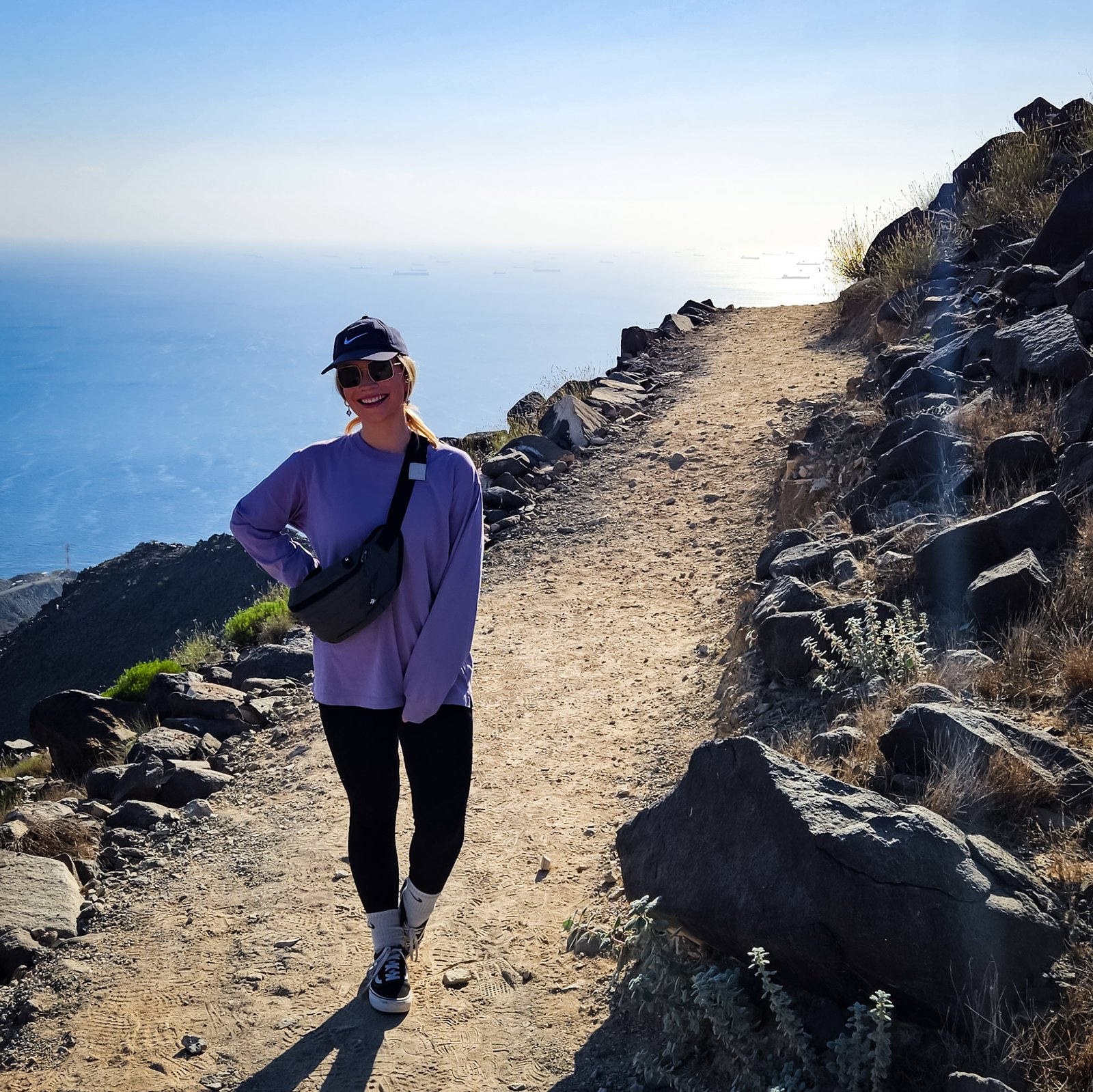
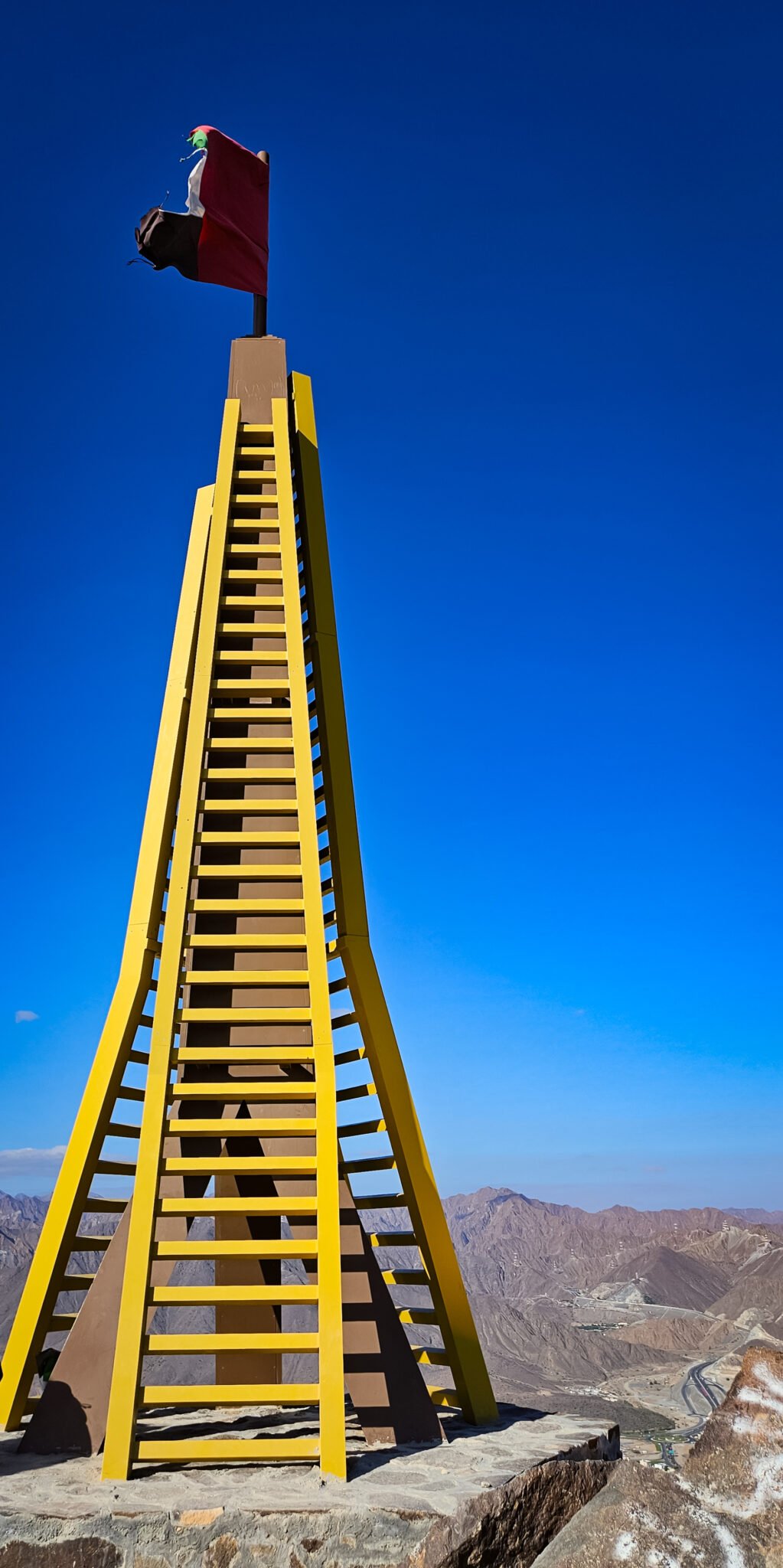
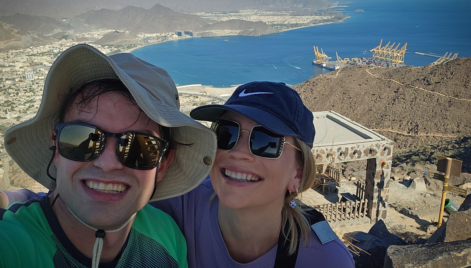
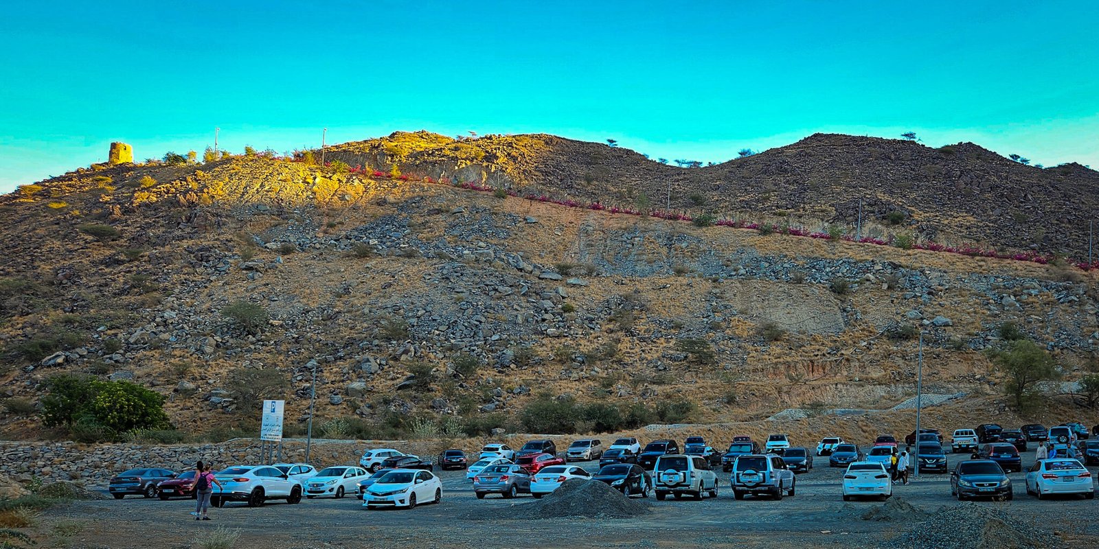
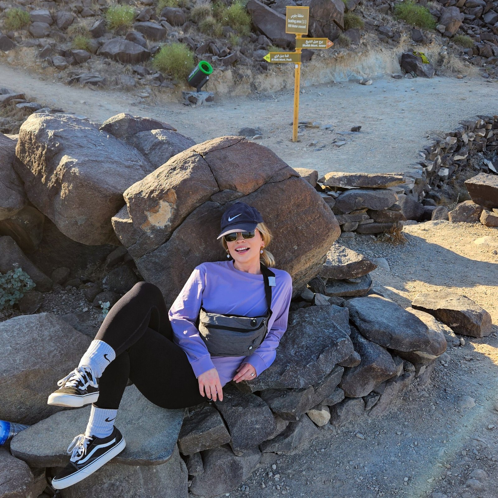
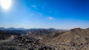
UAE-based hiking enthusiast sharing detailed, honest trail guides from personal experience. My mission is to help both local and international hikers discover the UAE's hidden outdoor gems through comprehensive guides, authentic trail reviews, and real-world gear insights. 
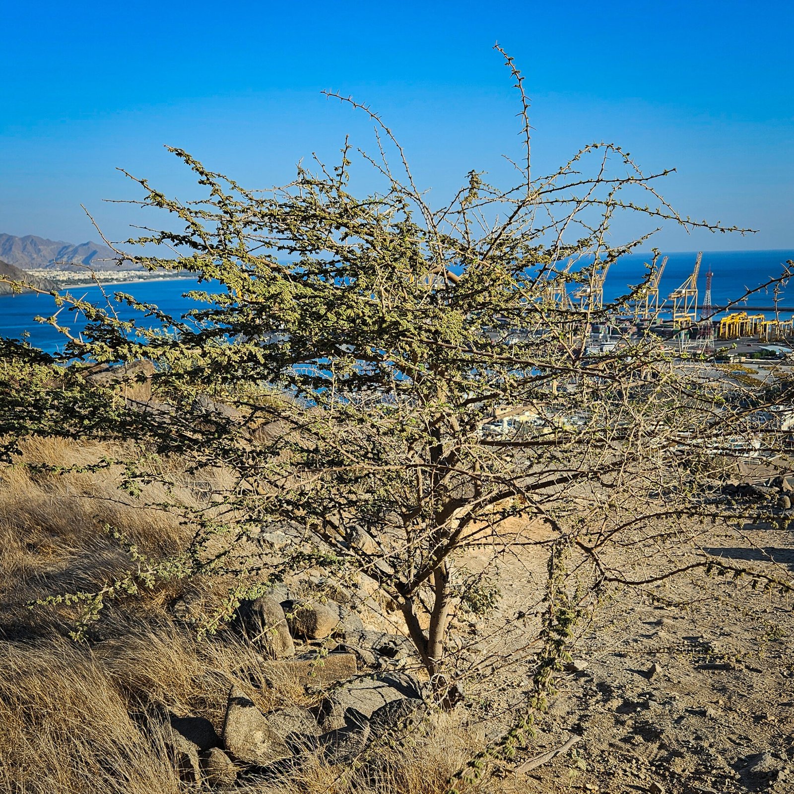
Every trail guide comes from firsthand experience, featuring practical tips, accurate difficulty ratings, and insights into the historical, cultural, geological, and ecological aspects to help you plan your adventures with confidence. From local mountain paths to multi-day treks, I'm building a reliable resource for outdoor enthusiasts. Join me as I explore and document the best hiking experiences in the UAE and beyond.

This Post Has 2 Comments

  1. Kol3ktor :)

    What you’ve written here speaks not just to the mind, but to the heart as well.

    1. Lyle

      Thank you so much for your kind words. I’m truly glad to hear that the piece resonated with you on a deeper level—that means a great deal to me. I hope you also found the information helpful and that it might inspire you to hike the Al Rabi trail if you haven’t already.

      If you enjoyed this post, feel free to explore some of my other trail guides—and if you’d like to get notified when new ones go live, you’re welcome to subscribe to the email list. I’d love to keep you in the loop for future hikes.

      Kind regards, Lyle

Leave a Reply